Geohazard cascades in high-mountain ecosystems operate on mechanical stress thresholds rather than simple probabilistic weather trends. When catastrophic mass movements like the rock-and-ice collapse along the Nepal-China border trigger widespread flash flooding, standard meteorological attribution metrics fail to capture the underlying structural vulnerabilities. Deconstructing the physics of high-altitude disasters requires evaluating how thermal anomalies alter slope stability, how localized microclimates amplify precipitation intensity, and how structural human exposure dictates the ultimate damage function.
The Mechanics of Slope Failure
Mountainous terrain stability is governed by shear stress versus shear strength within rock walls and glacial formations. Thermal forcing driven by regional atmospheric warming alters these mechanical parameters through two primary channels: permafrost degradation and glacial thinning. If you found value in this post, you might want to look at: this related article.
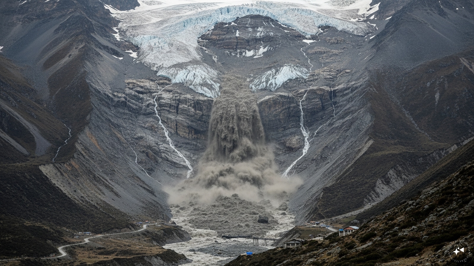
As mean ambient temperatures rise, ice wedges within jointed rock masses melt, reducing the cohesive strength holding steep slopes together. Simultaneously, rapid glacier retreat removes lateral support from valley walls, increasing gravitational stresses on adjacent rock faces. In the case of the Himalayan border disaster, seismic data and post-event satellite analysis indicated that the event was initiated by a massive rock-and-ice collapse rather than a tectonic earthquake. Pre-conditioning factors, including historical seismic strain from past tectonic events, left the geological strata highly sensitive to volumetric water infiltration and thermal expansion.
When meltwater or intense precipitation penetrates micro-fractures in warming rock walls, hydrostatic pressure increases internally. This pore-water pressure acts as a mechanical wedge, drastically reducing frictional resistance along potential slip planes until structural failure occurs. For another look on this development, see the recent update from Associated Press.
The Hydrological Amplification Vector
Once mass movement occurs into river valleys, the transformation from a solid-ice or rock avalanche into a high-velocity debris flow depends on channel saturation and sediment availability. Climate change acts as a force multiplier on the hydrological side through moisture-holding capacity mechanics.
Atmospheric thermodynamics dictate that warmer air holds exponentially more moisture per degree of Celsius increase, raising the upper bound of extreme precipitation events. In high-altitude basins, this manifests as an increased frequency of compressed, high-intensity multi-day rainfall episodes.
- Moisture Convergence: Regional weather patterns funnel moisture-laden air masses against steep topographical barriers, forcing rapid adiabatic cooling and heavy localized orographic precipitation.
- Surface Runoff Acceleration: Deforestation and urban encroachment within lower valley floors reduce soil permeability, shifting the catchment response from delayed subsurface infiltration to immediate surface runoff.
- Debris Bulking: As hyper-concentrated water surges down narrow gorges, it erodes banks and entrains loose sediment, boulders, and ice, multiplying the total mass and kinetic energy of the flood wave before it reaches populated zones.
The Vulnerability Function and Exposure Architecture
Physical hazard intensity only translates into disaster when it intersects with high asset exposure and structural vulnerability. The damage sustained by communities along cross-border river corridors is a function of floodplain occupancy rather than sheer meteorological anomaly alone.
Rapid infrastructure development along narrow valley bottoms—driven by trade routes, hydropower potential, and population growth—places high concentrations of population inside active geomorphic hazard zones. Buildings constructed with low structural resilience against dynamic impact loads offer negligible resistance to boulder-laden debris flows.
Furthermore, cross-border monitoring gaps exacerbate vulnerability. Meteorological and hydrological data sharing between upstream and downstream nations remains fragmented, creating informational bottlenecks that impair early-warning reaction times. Without synchronized, real-time telemetry across national boundaries, downstream populations receive truncated lead times, rendering evacuation protocols ineffective against flash surges that travel down steep gradients in minutes.
Strategic Mitigation and Monitoring Priorities
Mitigating future high-altitude catastrophic floods requires shifting capital allocation from reactive disaster relief to ex-ante structural reinforcement and regional data integration.
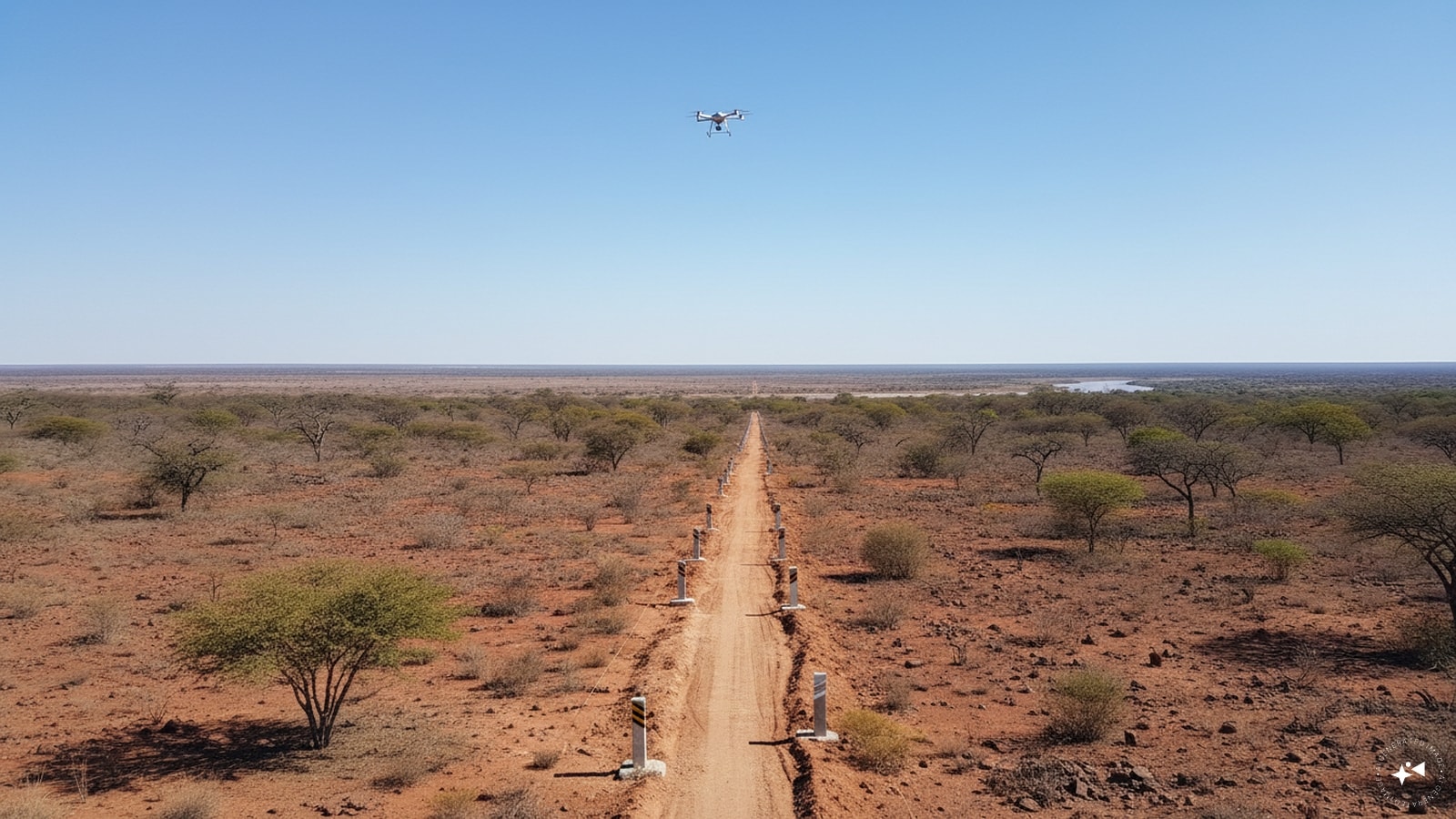
- Integrated Telemetry Networks: Establish automated, cross-border seismic and hydrological sensor grids along high-risk glacial lakes and unstable rock walls to track movement and pore-pressure changes in real time.
- Risk-Informed Land Use Planning: Enforce strict zoning codes that prohibit permanent residential or critical infrastructure placement within active alluvial fans and narrow gorge floodplains, backed by high-resolution hazard mapping.
- Upgraded Structural Engineering: Retrofit critical valley infrastructure—such as bridges, hydropower intakes, and transport links—with impact-resistant deflection barriers and energy-dissipating check dams designed to handle hyper-concentrated sediment flows.