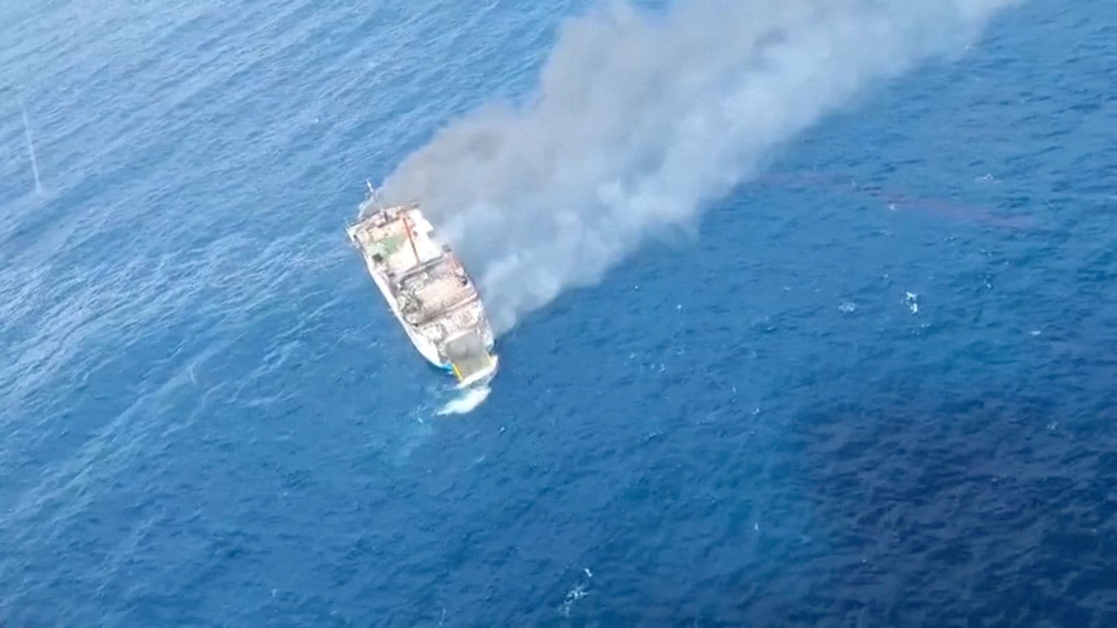
Marine pollution events within the Persian Gulf represent systemic friction points where geopolitical conflict, aging industrial assets, and maritime logistics intersect. When localized oil slicks breach coastal ecosystems—such as recent contamination reaching Qeshm and Hengam islands—the immediate public discourse often fractures along political lines. State actors attribute spills to foreign vessel discharges or military actions, while independent tracking data points toward structural pipeline failures or localized attacks on shipping assets. Dissecting these incidents requires separating rhetorical positioning from physical oceanographic realities and infrastructure telemetry.
The Mechanics of Regional Hydrocarbon Dispersion
Understanding how a hydrocarbon discharge transitions from an offshore point source to a coastal coating requires evaluating three core variables: wind vector fields, surface current velocity, and evaporation rates. The Persian Gulf operates as a semi-enclosed, shallow marginal sea with high evaporation rates, meaning persistent winds and density-driven currents heavily dictate particle drift trajectories.
- Point Source Identification: Slicks typically originate from two primary vectors: fixed subterranean infrastructure (such as aging export pipelines connecting offshore platforms to terminal hubs) or dynamic vessel operations (including bilge discharges, ballast water purging, or localized military strikes on tankers).
- Transport Dynamics: Once hydrocarbons enter the water column, lighter volatile fractions evaporate within hours, leaving behind heavy asphaltenes and emulsified water mixtures known locally as chocolate mousse. These persistent compounds migrate across narrow straits dictated entirely by regional pressure gradients.
- Impact Thresholds: The vulnerability of a shoreline correlates directly with intertidal geometry. Mangrove forests, shallow tidal flats, and enclosed bays trap floating viscous residues, creating prolonged ecological degradation compared to rocky, wave-swept headlands.
Infrastructure Vulnerability Versus Maritime Traffic Friction
The operational integrity of extraction and transit networks in southern Iranian waters faces structural stress from two distinct vectors. Chronic capital underinvestment in offshore oil networks increases the probability of mechanical failures, such as fatigue cracks in decades-old subsea pipelines. Simultaneously, altered naval posture in the Strait of Hormuz compresses tanker routes, concentrates vessel density, and heightens the probability of kinetic engagements or emergency ballast dumps.
[Offshore Extraction / Transit Node]
             │
             ├──► Structural Asset Failure (Subsea Pipeline Fatigue)
             └──► Dynamic Transit Friction (Military Action / Ballast Purge)
                              │
                              ▼
           [Wind & Current Hydrocarbon Drift Vector]
                              │
                              ▼
           [Intertidal Trapping: Mangroves & Tidal Flats]
When analysts attempt to reconcile conflicting claims between state authorities and satellite intelligence platforms, discrepancies stem from observation intervals. Optical satellite imagery provides intermittent snapshots of surface expression but frequently misses sub-surface migration or fast-dissipating discharges. Radar-based synthetic aperture radar observations offer higher temporal fidelity, yet they cannot automatically distinguish between refined fuel, crude oil, and natural biological slicks without ground-truth sampling.
Systemic Cost Functions of Coastal Remediation
Deploying emergency response teams to clear contaminated shorelines involves quantifiable operational friction. Mechanical recovery using skimmers and absorbent booms functions effectively only under calm sea states. In high-energy or geographically fragmented environments like the Suza channel on Qeshm Island, manual removal by local crews remains the primary mechanism for clearing sensitive coastal strips.
The economic cost function expands outward from direct cleanup expenditure to encompass secondary losses across regional fisheries, aquaculture farms, and industrial desalination intakes. Because the Gulf basin features narrow international boundaries and shared marine resources, cross-border environmental degradation transforms localized logistical accidents into multi-state diplomatic liabilities.
Allocate response capital toward real-time radar satellite integration combined with automated vessel-tracking telemetry to establish immediate attribution chains before slick dispersion obscures physical evidence. Prioritize baseline integrity audits on high-pressure subsea feeder lines operating within high-traffic shipping bottlenecks to mitigate structural failure risks.