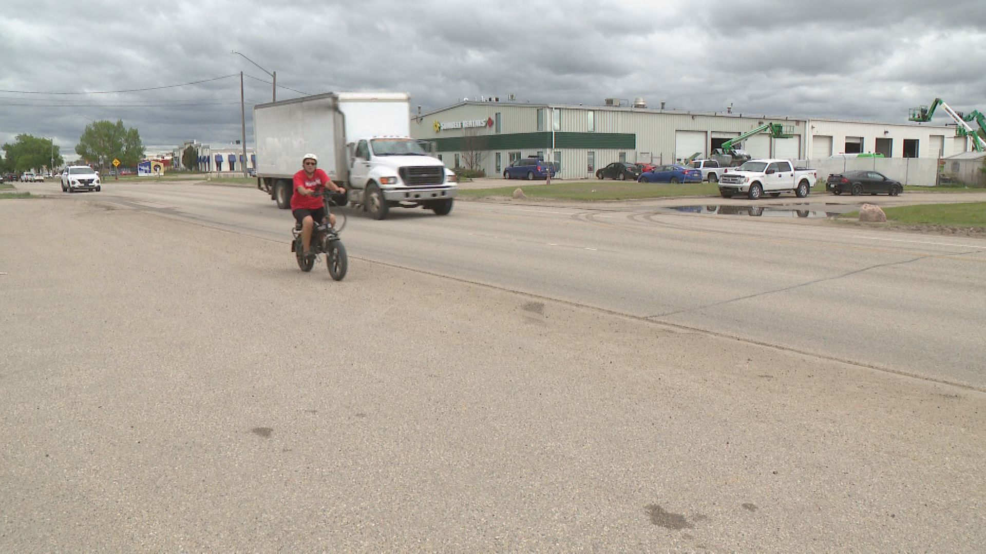
Municipal streetscape modernizations frequently operate on a foundational assumption: the redistribution of public right of way from vehicles to active transportation modes yields a net positive socioeconomic return. However, when applied to specialized industrial and commercial corridors, this direct trade-off introduces operational friction that standard municipal impact assessments systematically undercount. The City of Saskatoon's proposed $8.5 million to $9 million active transportation infrastructure corridor along a 4.2-kilometer stretch of Millar Avenue—spanning from 43rd Street East to Marquis Drive, including a major structural reconfiguration of the 51st Street intersection—serves as a clear case study of this misalignment.
The primary conflict does not stem from a philosophical opposition to pedestrian or cyclist safety. Data from Saskatchewan Government Insurance (SGI) indicates 161 documented collisions at the intersection of Millar Avenue and 51st Street over a recent four-year period, resulting in one fatality, alongside an additional 153 collisions in the immediate periphery. The core issue is structural. Millar Avenue is an exclusive commercial and industrial employment corridor containing zero residential zoning. The implementation of a continuous 3-meter-wide shared-use pathway on both sides of the corridor requires reclaiming the legal municipal right of way. While legally sound, this reclamation disrupts an informal, decades-old spatial equilibrium where private businesses utilized this public setback for critical operational infrastructure: customer parking, logistics buffers, and heavy vehicle turning radiuses.
The Spatial Optimization Crisis and Private Capital Displacement
To understand why local operators oppose the municipal design, one must calculate the operational cost function of front-yard setback degradation. The industrial properties flanking Millar Avenue possess legal right-of-way boundaries that extend between 20 to 40 meters from the current road curb. Over a 30-year operational horizon, private entities paved, maintained, and structurally integrated these municipal setbacks into their commercial layouts, frequently using them as primary customer parking or loading zones.
The municipal plan to establish nine meters of aggregate pedestrian walkways and green space converts these private operational zones back into public thoroughfares. This creates an immediate spatial deficit. For service-oriented businesses like retail frontages or automotive repair facilities, cash flow links directly to physical asset capacity. The reduction of a property's front-yard stall count scales downward its peak customer throughput.
[Total Parcel Capacity] = [Internal Footprint] + [Setback Stall Velocity]
When the setback stalls are eliminated, the property faces an irrecoverable compression of its capacity. Because many of these parcels are built directly up to their internal property lines, the loss of front-row parking cannot be mitigated by shifting stalls to the rear or flanks of the building. The capital value of the real estate drops because its operational utility is structurally capped by the diminished parking layout.
Logistics Bottlenecks and Right-In Right-Out Flow Constraints
Beyond static parking alignment, the proposed physical modifications introduce acute fluid dynamics problems for freight logistics. Industrial supply chains rely on specific vehicle turning geometry. The intersection reconfiguration at 51st Street and Millar Avenue introduces median islands and channelized structures designed to slow down vehicular speeds and shield vulnerable road users.
The operational cost of these safety features is a severe restriction on truck turning movements. Under the preferred design models, multiple commercial properties face a transition from unrestricted all-movement access down to a rigid right-in, right-out (RIRO) traffic configuration. This restriction introduces immediate systemic inefficiencies:
- Circuity Multipliers: Freight trucks barred from executing direct left turns out of facility driveways must execute circuitous routing through adjacent industrial corridors. This adds unnecessary mileage, increases fuel consumption, and extends trip cycle times.
- Intersection Loading Overload: Forcing heavy transport vehicles to proceed downstream to execute U-turns or loop maneuvers transfers the traffic load directly to alternative intersections. This increases congestion at the remaining open junctions.
- Terminal Delay Cascades: Industrial delivery schedules operate on highly sensitive dock windows. Introducing a 5 to 10-minute routing delay per vehicle quickly compounds across an entire fleet deployment, causing logistics bottlenecks at warehousing terminals.
The second limitation involves the physical profile of heavy transport vehicles. When a municipal layout narrows lanes or cuts down turning radiuses to prioritize active transportation, it forces multi-axle freight vehicles to utilize tighter paths. This increases the probability of curb-striking incidents, which accelerates the degradation of municipal infrastructure and increases the risk of damage to freight cargo.
The Seasonal Asymmetry of Active Transportation Infrastructure
A major flaw in the economic justification of the Millar Avenue design is the failure to account for seasonal utilization variance. Active transportation benefit-cost models typically rely on annualized averages or warm-weather pilot data. In northern climates like Saskatoon, this methodology introduces extreme forecasting errors.
During winter, sub-zero temperatures and high snowfall volumes naturally suppress cycling and pedestrian traffic to near-zero levels along industrial corridors. Concurrently, municipal snow management procedures deposit large snow windrows directly onto roadside margins. Because the proposed shared-use paths run adjacent to the traffic lanes, these snow piles render the pathways structurally impassable for months out of the year unless the city commits to continuous, capital-intensive snow removal operations.
Consequently, businesses suffer a double penalty. They lose operational real estate and parking stalls twelve months a year to accommodate active transportation infrastructure that experiences minimal usage for half the year. During the winter season, the physical footprint of the pathway effectively becomes dead space that yields no safety or mobility returns, while the business continues to operate under a constrained spatial capacity.
Strategic Alternatives for Corridor Optimization
The City of Saskatoon's decision to defer its final legislative vote highlights a growing recognition that uniform infrastructure designs fail when applied to specialized industrial zones. To resolve this standoff without sacrificing public safety, urban planners must move away from rigid, dual-sided street layouts. A compromised framework requires exploring asymmetric design alternatives tailored to actual worker transit demand.
A single-sided shared-use pathway—constructed exclusively on one side of Millar Avenue with a standard, low-impact sidewalk on the opposite side—would cut the total right-of-way reclamation footprint by nearly one-third. This layout satisfies the core requirements of pedestrian advocacy groups by providing a continuous, protected path for transit users and commuters, while preserving critical front-yard loading and parking infrastructure for the majority of industrial operators along the corridor.
Furthermore, municipal interventions should prioritize targeted intersection upgrades rather than corridor-wide corridor modifications. Enhancing pedestrian ramps at channelized islands and installing high-visibility, active-sensor lighting at existing mid-block bus stops addresses the specific hot-spots where collisions occur. This approach improves overall safety outcomes without triggering the massive private capital displacement and logistics bottlenecks that come with a full, corridor-wide road redesign.