You’d think a border defined back in 1816 would be settled by now. But here we are in May 2026, and the Himalayan heights of Lipulekh are once again the center of a diplomatic firestorm. It’s the same old script with a fresh layer of tension. India just announced the 2026 schedule for the Kailash Mansarovar Yatra, and Kathmandu didn’t waste a second before lodging a formal protest.
If you’re wondering why a mountain pass matters so much, it’s simple. It’s about territory, pride, and a very specific interpretation of a 210-year-old treaty. India calls Nepal’s claims "untenable" and an "artificial enlargement." Nepal says the land is theirs, and they’ve got the maps to prove it. Honestly, it’s a mess that isn't getting fixed anytime soon.
The Trigger for the 2026 Standoff
The immediate spark was India’s Ministry of External Affairs (MEA) announcing that the annual pilgrimage to Mount Kailash would run from June to August 2026. They plan to send 1,000 pilgrims through two routes: Nathu La in Sikkim and the Lipulekh Pass in Uttarakhand.
Nepal’s Ministry of Foreign Affairs quickly shot back. They issued diplomatic notes to both New Delhi and Beijing, claiming they weren’t consulted about a route that passes through what they consider Nepali soil. For Kathmandu, this isn't just about pilgrims; it’s about sovereignty. They’ve been asking India to stop road construction and trade in this area for years. India’s response? A firm "no." MEA spokesperson Randhir Jaiswal pointed out that India has been using this route since 1954. To New Delhi, this isn't a "new development"—it’s just business as usual.
Why the Sugauli Treaty is at the Heart of Everything
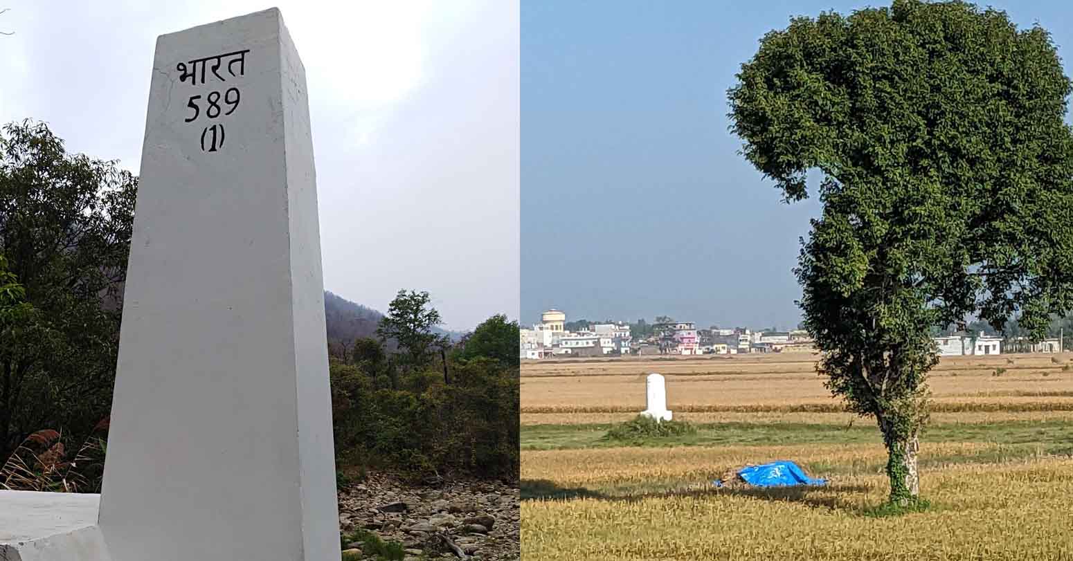
To understand why these two neighbors are bickering over 372 square kilometers of rock and ice, you have to look at the 1816 Sugauli Treaty. This document, signed after the Anglo-Nepalese War, established the Kali River as Nepal’s western boundary.
Here’s the catch. Nobody can agree on where the Kali River actually starts.
- Nepal’s View: They argue the river originates at Limpiyadhura. If that’s true, then Lipulekh and Kalapani are clearly inside Nepal.
- India’s View: They maintain the river starts much further east, near the Lipulekh Pass itself. Under this version, the disputed land belongs to India’s Uttarakhand state.
It’s a classic case of "my map versus your map." In 2020, Nepal even amended its constitution to include these areas in its official political map. India rejected that move immediately, and that’s where the "untenable" label comes from. India views the new map as a political stunt rather than a historical fact.
The China Factor and Strategic Anxiety
It’s not just a two-way street. This is a tri-junction where India, Nepal, and China meet. That makes it incredibly sensitive for India’s national security. Lipulekh is a high-altitude vantage point. From here, the Indian military can keep a close eye on Chinese movements across the Tibetan plateau.
What really stings for Nepal is the perceived "sidelining." Back in August 2025, India and China reportedly agreed to reopen Lipulekh for bilateral trade. Kathmandu felt left out in the cold. They want trilateral talks. They want a seat at the table when their neighbors are discussing land they claim as their own. But India prefers a bilateral approach, dealing with Nepal directly and keeping China out of the specific border negotiations.
Why Diplomacy is Stuck in Neutral
You might ask why they don't just sit down and fix it. They try, but the politics are toxic. In Nepal, the Lipulekh issue is a powerful nationalist tool. No politician wants to look "weak" on India. In India, there's a sense that Nepal is being pushed by "external influences"—a thinly veiled reference to China—to rake up these issues.
The reality on the ground is that India isn't leaving. They’ve built an 80-km road to the pass. They have a permanent military presence. They have a Kali temple at Kalapani to reinforce their cultural and historical link to the land. For India, possession is nine-tenths of the law. For Nepal, the law is the 1816 treaty, and they won't let it go.
What Happens Now
Don't expect a grand resolution by the end of 2026. The Kailash Mansarovar Yatra will almost certainly proceed as planned. India has the infrastructure and the administrative control. Nepal will continue to issue protests and diplomatic notes to satisfy domestic sentiment.
If you’re following this, watch for these specific signs:
- Joint Commission Meetings: If the India-Nepal Joint Committee on Border Issues actually meets, look for any mention of "technical evidence." That’s where the real work happens.
- The "Chuchche" Map: Nepal isn't going to retract its 2020 map. As long as that map is in their constitution, the legal deadlock remains.
- Trilateral Tensions: Keep an eye on how Beijing reacts to Nepal’s latest diplomatic notes. If China acknowledges Nepal’s concerns, it could put serious pressure on New Delhi.
Basically, expect more "clear and consistent" rejections from India and more "firm stances" from Nepal. It’s a Himalayan stalemate that shows no sign of thawing.
If you're interested in the historical specifics, go read the 1816 Sugauli Treaty for yourself. It’s the only way to truly grasp how a single river source can derail a relationship between two "brotherly" nations.