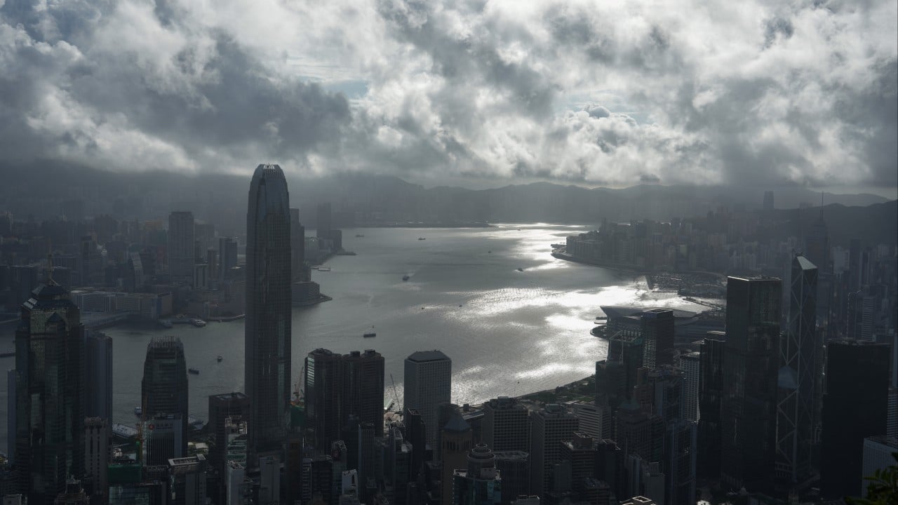
Hong Kong is waiting again. The Hong Kong Observatory just confirmed the No 1 typhoon signal will remain in force as a tropical depression inches closer to the coast. Most people look at a No 1 signal and shrug. They think it's just a bit of rain. They think it's a day of slightly windy commuting. That mindset is a mistake.
When a tropical depression closes in on Hong Kong, conditions change fast. The city's unique geography creates microclimates that can turn a minor storm into a localized nightmare. If you're tracking the latest weather updates hoping for a day off work, you're missing the bigger picture.
The Real Danger of a Moving Tropical Depression
A tropical depression is the weakest form of a tropical cyclone. Because of that label, it gets ignored. But weakness is relative. It still packs sustained winds up to 62 kilometers per hour. When those winds hit the high-rise canyons of Central or the exposed hills of New Territories, they accelerate.
The current system moving toward the city isn't an isolated event. It fits a pattern of shifting weather systems in the South China Sea. The Hong Kong Observatory tracks these systems using advanced radar, but tracking a loose, disorganized depression is notoriously difficult. Unlike a mature typhoon with a clear eye, a depression is a messy blob of thunderstorms. You can't easily predict exactly where the heaviest rain bands will dump water.
That lack of predictability is exactly why the No 1 standby signal stays active. It means a maritime threat is within 800 kilometers of Hong Kong. It's a warning to prepare, not an invitation to ignore the sky.
How the Hong Kong Observatory Decides Your Day
The decision to keep the No 1 typhoon signal in force relies on a complex network of wind gauges spread across the territory. The Observatory monitors eight reference stations. These include places like Cheung Chau, Sai Kung, and the airport at Chek Lap Kok.
For the signal to jump to a No 3, sustained strong winds must blow at sea level in at least half of those reference stations. A tropical depression often lacks the sheer power to trigger a widespread No 3 signal across the entire harbor. But it absolutely can cause isolated gales in specific neighborhoods.
Think about Stanley or Shek O. Think about the outer islands. While residents in Mong Kok might only feel a light breeze, people on the coast face pounding waves and sudden gusts. The system forces the city into a holding pattern. The government delays maritime transport, container terminals start wrapping up operations, and small boat owners scramble to secure their vessels.
Why Rain and Landslides Are the True Threats
Everyone focuses on the wind speed. That's a flawed way to look at tropical systems. The real hazard of a slow-moving tropical depression is the rain.
When a system moves slowly, it feeds on the warm waters of the South China Sea. It pumps massive amounts of moisture into the atmosphere. When that moisture hits the mountains of Lantau Island or Tai Mo Shan, it rises, cools, and unloads. You get hours of relentless, blinding downpours.
Hong Kong's hillsides are heavily engineered, but they aren't invincible. The Civil Engineering and Development Department maintains thousands of man-made slopes, yet prolonged saturation changes the game. Mudslides don't care if the official warning is only a No 1 signal. If the ground absorbs too much water, hillsides give way.
Flash flooding in low-lying areas like Yuen Long or Northern New Territories happens rapidly during these events. Drainage channels get overwhelmed by sudden, intense rain bands that spin off the edge of the depression.
Common Mistakes People Make During Low Level Signals
People treat the standby signal like a green light for outdoor activities. Hikers still head up Lion Rock. Surfers flock to Big Wave Bay to catch the pre-storm swells. This is incredibly reckless.
Anglers often stay out on rocky shorelines, thinking they can spot a rogue wave coming. They can't. The swell generated by a tropical depression travels hundreds of kilometers ahead of the storm itself. The sea can look calm for ten minutes, then suddenly produce a massive wave that washes someone off the rocks. Emergency services spend valuable resources rescuing people who thought a No 1 signal meant it was safe to play outside.
Another massive mistake is neglecting home preparations. Windows get left open on high floors. Balcony furniture stays loose. When a sudden squall hits at 2 AM, those loose items become projectiles. A flying plastic chair dropping from the 30th floor of a residential tower can easily kill someone on the street below.
What You Need to Do Right Now
Don't wait for the wind to start howling before you act. Take advantage of the standby period to secure your surroundings.
Clear the drainage channels on your balcony or rooftop. Leaves and plastic debris block water flow quickly, leading to flooded living rooms. Secure all windows and check the seals. If you live in an exposed area or a high floor, consider taping windows that face the prevailing wind direction, though closing them securely is your primary defense.
Keep your devices charged. Power fluctuations happen during heavy rainstorms as lightning strikes utility infrastructure or water seeps into localized electrical grids. Stock up on basic food items so you don't have to walk through a torrential downpour just to get dinner.
Check the ferry schedules if you live on an island. Marine travel gets disrupted long before land transport. Ferry operators will suspend services early if the sea state deteriorates, regardless of whether the Observatory hoists a No 3 signal. Stay tuned to official broadcasts every few hours. The path of a tropical depression can shift unexpectedly, turning a quiet evening into an emergency situation. Stay inside, stay dry, and let the storm pass.