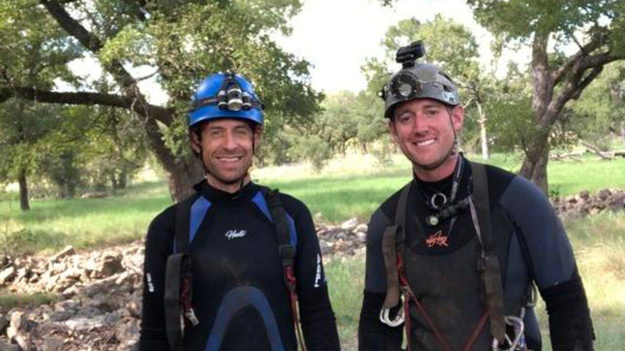
Subterranean paleontology operates under a severe observational bias. Historically, vertebrate fossil recovery in the Edwards Plateau of Central Texas has relied upon dry cave systems, surface asphalt seeps, and alluvial gravel terraces. These terrestrial collection points filter out specimens that lack structural durability or fail to survive surface weathering before burial. When vertebrate paleontologist John Moretti and spelunker John Young systematically surveyed Bender’s Cave—a submerged karst conduit in Comal County—they bypassed standard dry-cave taphonomic filters by examining an active underwater stream channel. Their mapping of 21 distinct fossil zones yielded an anomalous assemblage of Late Pleistocene megafauna, including pampatheres and giant tortoises, resting directly on the streambed without standard rock matrix encasement. This discovery forces a re-evaluation of how water caves function as natural sediment traps and preservation matrices.
Karst topography covers roughly twenty percent of Texas, driven by the dissolution of Cretaceous limestone under acidic groundwater action. These networks form complex hydraulic systems where underground streams act as conduits for both sediment transport and biological remains. In a dry cave, bones typically enter via vertical shafts or sinkhole collapses, leading to high fragmentation rates from impact and subsequent trampling by later-arriving fauna or cave explorers.
Submerged conduits introduce an entirely different mechanical regime. Water-filled passages dampen the kinetic energy of falling skeletal elements, while constant hydraulic immersion reduces subaerial weathering processes such as UV degradation and rapid thermal expansion-contraction cracking. However, moving water introduces hydrodynamic transport sorting. Skeletal elements are usually segregated by shape and density, with flat bones and long bones sorting independently. The Bender's Cave assemblage defies typical hydrodynamic sorting models by preserving dense, discrete elements—such as giant ground sloth claws and heavy pampathere osteoderms—alongside fragile material in a low-energy subterranean reach, indicating a localized depositional origin rather than long-distance fluvial transport.
The biological composition of the Bender's Cave assemblage provides a high-resolution proxy for Late Pleistocene ecological baselines in Central Texas. The recovery of pampatheres—extinct, heavily armored armadillo relatives scaling up to lion-like dimensions—and large tortoises requires specific environmental parameters. Modern pampatheres and giant tortoises are obligate indicators of subtropical to temperate, well-vegetated, and relatively moist habitats. Their presence during the Late Pleistocene contrasts with the arid scrubland paradigms frequently assumed for portions of the region during glacial maxima.
Moretti's analysis suggests these remains may correspond to an interglacial warming period, potentially dating to roughly 100,000 years ago during Marine Isotope Stage 5. During interglacial intervals, expanded gallery forests and reliable water sources along the Edwards Plateau supported a diverse trophic web that could sustain high-biomass herbivores. The absence of these specific taxa in nearby dry-cave deposits highlights a fundamental sampling artifact of regional paleontology: animals that frequented riparian corridors and cave entrances died in or near water-input zones, where their remains were immediately swept into subterranean dead zones rather than being scattered across upland dry surfaces.
Analyzing water caves as primary paleontological repositories requires shifting away from traditional excavation methodologies. Standard fossil recovery demands pneumatic chisels, jackhammers, and acid preparation to liberate bone from dense limestone matrices. In Bender's Cave, the recovery mechanism was strictly non-destructive and non-excavational: researchers utilizing wetsuits, masks, and snorkels physically plucked specimens directly from the unconsolidated gravel streambed across the 21 mapped zones.
This operational difference alters the cost-benefit function of fossil discovery. Traditional sites present high capital expenditure in labor and time per recovered element due to hard-rock encasement. Water-cave prospecting shifts the primary bottleneck from extraction to exploratory navigation, safety management in confined aquatic spaces, and high-precision spatial mapping. Because the fossils are exposed by active stream flow rather than mechanical quarrying, the risk of specimen destruction via tool-strike is eliminated, though the risk of downstream abrasion by bedload sediment remains an active taphonomic agent.
To scale this investigative model across the thousands of documented caves in the Texas Hill Country, research institutions must integrate hydrological mapping with vertebrate paleontology protocols. Standard speleological surveys prioritize topology, air volume, and water tracing for aquifer management, largely ignoring biological inclusions unless large bones block passage ways. By training cavers to identify diagnostic Pleistocene morphology—such as patterned osteoderms and distinctive claw geometries—paleontologists can crowdsource primary location data across flooded networks. Field teams must then deploy standardized underwater grid systems to record the exact spatial coordinates and orientation of each skeletal element before hydraulic shifts displace them further down the conduit.